It started with tire pressure checks and coffee breath. By 8:15 AM, the gravel pulsed under boots, and low morning light sliced through the pines. At that hour, Durango still felt like a town waking up. But 4×4 Durango trails — they never sleep long. And Yankee Boy Basin? That one doesn’t wait.
No matter how many times you ride it, the first few miles always seem harmless. Almost soft. Then it shifts — like someone changed the script mid-sentence. Cliffs start to lean closer. Water seeps through crevices you hadn’t noticed last week. It’s not aggressive. But it isn’t passive either.
When the Path Breaks Its Own Pattern
At first glance, Yankee Boy Basin looks like a postcard. Wildflowers in June, marmots darting between rocks, snow lingering at higher elevation even in late July. But under the beauty runs something unstable — road conditions that change not just by season, but by hour.
In July 2024, a section near Twin Falls was temporarily closed after flash flooding reshaped the lower switchbacks. By the next morning, several outfitters had rerouted entirely.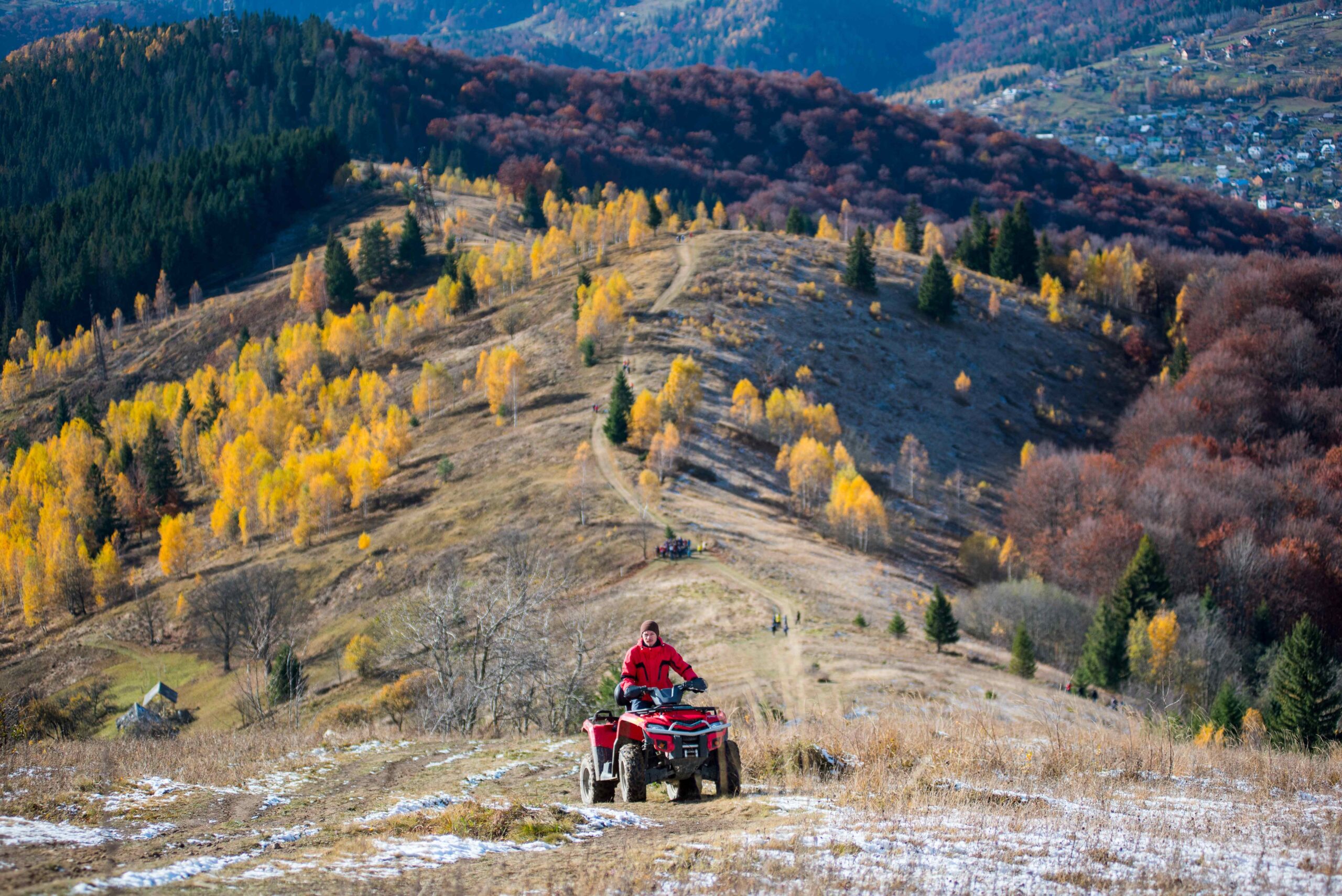
Even regulars don’t trust it fully. You prep, double-check gear, recheck forecasts, and still end up adjusting plans on the ridge.
And yet — they return. We return.
Where It’s From, and Why That Matters
Yankee Boy Basin sits southwest of Ouray, nestled in the San Juan Mountains. Originally a mining route, it now draws 4×4 travelers chasing elevation, views, and technical rides with payoff.
The trail winds through old mining corridors, ghost camps, and meadows framed by 13,000+ foot peaks. In places, it’s a shelf road — barely wider than your tires. In others, it opens like a breath — broad sky, distant switchbacks, silence.
It was never meant for modern traffic. And that’s part of the appeal.
Route Details: What You’re Getting Into
Let’s get precise.
Start point: Near Ouray (County Road 361)
Distance: ~18 miles round trip
Elevation gain: ~2,000 feet
Difficulty: Moderate to advanced, depending on weather
Best time: Late June – early October
Vehicle: High-clearance 4×4 only — no AWD crossovers
Highlights: Twin Falls, wildflower meadows, Mount Sneffels views
Hazards: Narrow ledges, loose rock, water crossings, snow drifts into July
Notable conditions:
- Early season (June): Risk of snow, especially past Governor Basin junction
- Mid-summer (July–Aug): Best visibility, highest visitor volume
- Late season (Sept): Cold mornings, fast-changing shadows, less traffic
A lot of drivers aim for sunrise. But locals often prefer post-11 AM starts — less frost, more grip. That said, the weather rolls fast. A blue sky at noon can fold into hail by 2.
On August 12, 2023, three rigs were stranded above the Twin Falls crossing after a brief afternoon storm turned the runoff opaque and fast.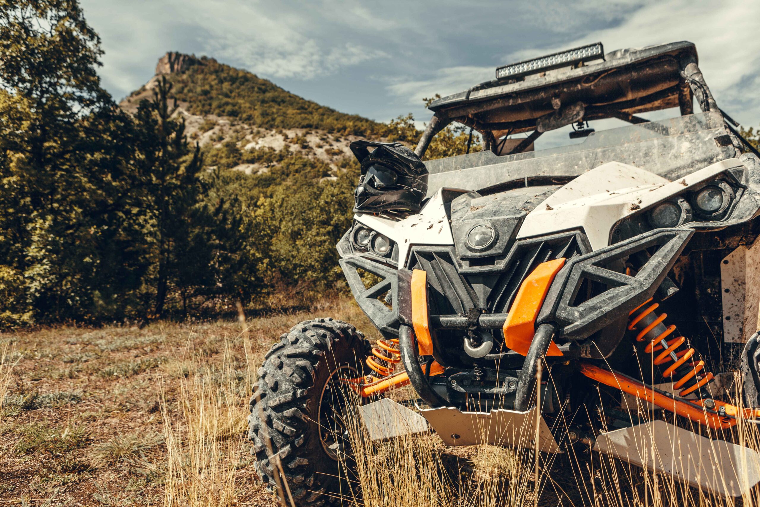
What Changes — And What Doesn’t
Even with reroutes and warnings, there’s a rhythm. Repeat drivers develop a kind of shorthand — “S-bend above the aspen chute,” “loose slab just past the rock pin.” It’s not official. But it works.
Tours still run regularly during summer, though most now pause trips by mid-October. Damage from spring melt can take weeks to assess, and repair windows are tight.
But some things remain:
- That sharp corner at 11,200 feet where everyone pauses, not for fear — but for the view.
- The silence at the top — wind and maybe a few words if someone finally breaks it.
- The first-time hesitation at the narrow ledge: “Can we actually…?”
And the answer, quietly: “Yes. But slowly.”
Why It Still Pulls Us Back
Off-road trails in Colorado are never just about machines. They’re about texture — of terrain, of weather, of nerves. Yankee Boy Basin pushes back just enough to matter. It tests assumptions: about control, preparedness, and what makes a route “worth it.”
For Durango’s off-road community, this trail remains a kind of north star. Not because it’s perfect. But because it isn’t.
It looked consistent last year. Then it shifted. It might happen again tomorrow.
And still — you prep your rig. You check the tread. You go.
Comments are closed